| |
Charleston
Illustrated™
Charleston SC, founded in
1670, is one of America's oldest cities. She played an
important role in the American Revolution and was the
site of the Secession Convention that in 1861 dissolved
the Union, which eventually lead to the The War Between
the States.
This site is all about the
development of Charleston, South Carolina. The highlight
of the site is Charleston Illustrated,
an architectural map of the downtown historic districts.
We've also added pages containing original and antique
maps, links to books, and
information about local sights
and businesses.
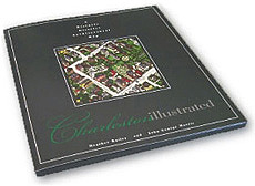
Charleston Illustrated
is a 3-dimensional map of the downtown historic districts.
It is the most comprehensive map of downtown Charleston
ever produced. This beautifully detailed image includes
every structure within its boundaries.
For more information about this product, click on The
Big Map
|
|
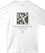
Detail of the "Four Corners of Law"
on Charleston Illustrated.

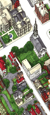
View of St.Michael's Church before a summer
rainstorm.
|
|